
“So, we’re off working now with that program office to go start off a more commercial line,” Purdy said. “And when I say commercial in this particular aspect, just to clarify, this is accomplishing the same GSSAP mission. Our operators will fly the GSSAP system using the same ground systems and data they do now, but these would be using faster, commercial build times… and cheaper, less expensive parts in order to bring that together in a faster sense.”
Credit:
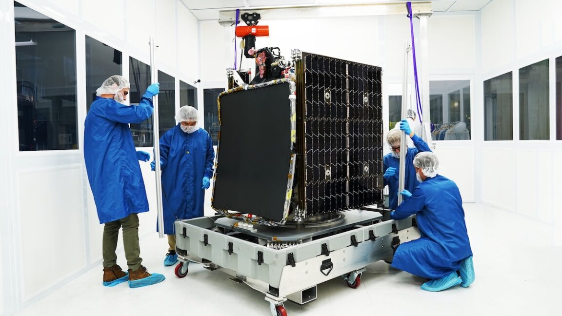
US Space Force
The next-gen GSSAP spacecraft may not meet the same standards as the Space Force’s existing inspector satellites, but the change comes with benefits beyond lower costs and faster timelines. It will be unclassified and will be open to multiple vendors to build and launch space surveillance satellites, injecting some level of competition into the program. It will also be eligible for sales to other countries.
More for less with GPS
There’s another area where Purdy said the Space Force was surprised by what commercial satellite builders were offering. Last year, the Pentagon used a new “Quick Start” procurement model authorized by Congress to establish a program to bolster the GPS navigation network, which is run by the Space Force but relied upon by commercial users and private citizens around the world.
The Space Force has more than 30 GPS satellites in medium-Earth orbit (MEO) at an altitude of roughly 12,550 miles (20,200 kilometers). Purdy said the network is “vulnerable” because the constellation has a relatively small number of satellites, at least relative to the Space Force’s newest programs. In MEO, the satellites are within range of direct ascent anti-satellite weapons. Many of the GPS satellites are aging, and the newer ones, built by Lockheed Martin, cost about $250 million apiece. With the Resilient GPS program, the Space Force aims to reduce the cost to $50 million to $80 million per satellite.
The satellites will be smaller than the GPS satellites flying today and will transmit a core set of signals. “We’re looking to add more resiliency and more numbers,” Purdy said.
“We actually didn’t think that we were going to get much, to be honest with you, and it was a surprise to us, and a major learning [opportunity] for us, learning last year that satellite prices had—they were low in LEO already, but they were lowering in MEO,” Purdy said. “So, that convinced us that we should proceed with it. The results have actually been more surprising and encouraging than we thought.
“The [satellite] buses actually bring a higher power level than our current program of record does, which allows us to punch through jamming in a better sense. We can achieve better results, we think, over time, going after these commercial buses,” Purdy said. “So that’s caused me to think, for our mainline GPS system, we’re actually looking at that for alternative ways to get after that.”

Maj. Gen. Stephen Purdy oversees the Space Force’s acquisition programs at the Pentagon.
Credit:
Jonathan Newton/The Washington Post via Getty Images
In September, the Space Force awarded four agreements to Astranis, Axient, L3Harris, and Sierra Space to produce design concepts for new Resilient GPS satellites. Astranis and Axient are relatively new to satellite manufacturing. Astranis is a pioneer in low-mass Internet satellites in geosynchronous orbit, and a non-traditional defense contractor. Axient, acquired by a company named Astrion last year, has focused on producing small CubeSats.
The military will later select one or more of these companies to move forward with producing up to eight Resilient GPS satellites for launch as soon as 2028. Early planning is already underway for a follow-on set of Resilient GPS satellites with additional capabilities, according to the Space Force.
The experience with the R-GPS program inspired the Space Force to look at other mission areas that might be well-served with a similar procurement approach. They settled on GSSAP as the next frontier.
Scolese, director of the NRO, said his agency is examining how to use commercial satellite constellations for other purposes beyond Earth imaging. This might include a program to employ commercially procured satellites for signals intelligence (SIGINT) missions, he said.
“It’s not just the commercial imagery,” Scolese said. “It’s also commercial RF (Radio Frequency, or SIGINT) and newer phenomenologies as where we’re working with that industry to go off and help advance those.”